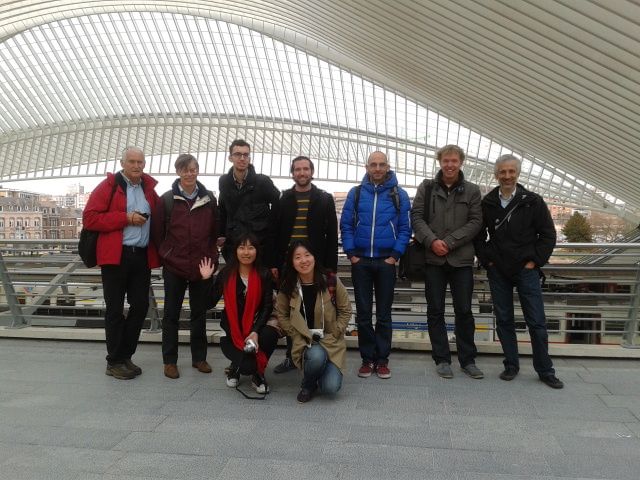
Last week, our transport planning research group at the University of Amsterdam visited the Municipality of Maastricht (population 122,000), capital of the southernmost Dutch province, Limburgh. The city is built on both sides of the Maas river, has a rich history as a Roman settlement and early industrial city, and is strategically positioned near the Belgian and German borders. One of our PhD students, Jake Wiersma, has been working on the strategic vision for Maastricht in his position as a planner at the Municipality, and invited us to participate in a workshop.
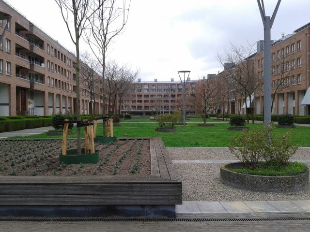
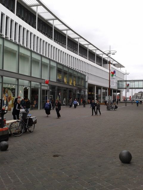
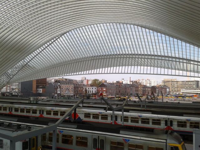
As Maastricht’s traditional industries of mining, ceramics and pottery have declined, the city has regenerated several brownfield sites, including the Céramique potteries site near the town centre where several new housing blocks, a new Aldo Rossi-designed museum and new library have been built. The Entre Deux and Mosae Forum shopping centres, the area around the main railway station, and the walkway along the river are other recent developments.


However, the region is one of two in the Netherlands whose population will shrink in the coming decades (the other being the eastern part of the province of Groningen). It is also one of the more car-dominant cities in the Netherlands, partly because its elevation is not nearly as flat as cities like Amsterdam in the north. Persistent congestion problems on the A2 motorway have led to a two-level tunnel through the city, currently under construction. Maastricht is still trying to discourage parking in its inner city and improving other options, such as walking and park and ride options. Besides trying to decrease driving in the city centre, one of the planning problems is how to maintain accessibility for residents of the rural towns and villages.
Another issue is regional planning–Maastricht is perhaps the most international city in the Netherlands, with students and workers commuting daily from nearby German and Belgian cities. German is widely spoken, and French names and words persist in the Limburgh dialect (and, as you can see, in the names of sites and neighbourhoods). Companies such as BASF, Vodaphone and Mercedez-Benz have extensive bases in the city. However, until recently there has been no attempt to try and plan for the region as a whole. Like many regions in the Netherlands, there is a long-standing debate on the question of which scale is the most appropriate for planning things like transportation infrastructure or employment growth. How far does the “region” actually extend–as far as Aachen (31km east) across the German border, or across the Belgian border to Liège (25km south) and Hasselt (25km west)? Should the region’s boundaries remain within the Netherlands, perhaps including Eindhoven (70km north)? The city is currently trying to determine which of these neighbouring municipalities to include as planning partners in its strategic vision process: in our workshop, we broke into three groups trying to tackle the international, regional and local scales.

Maastricht planners at the municipal and provincial levels must now put their shoulders to the wheel: it will likely be years before a regional vision coalesces, if Amsterdam-Utrecht and Rotterdam-Den Haag are any indication. Amsterdam and Utrecht, two cities that share commuters and population growth but are in two different provinces, have struggled to plan anything at the regional level. Rotterdam and Den Haag have making slow but steady progress in this direction with the RandstadRail and Stedenbaan projects. Maastricht must make extensive use of the polder model to engage all its possible stakeholders in this strategic vision process.
